
Finest Hour 165
The Map-Maker – Genesis of Sir Martin’s Extraordinary Cartography
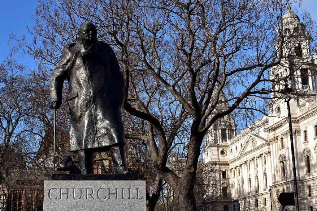
Winston Churchill, Parliament Square, London © Sue Lowry & Magellan PR
September 11, 2015
Finest Hour 165, Autumn 2014
Page 15
By TONIE AND VALMAI HOLT
Having corresponded and exchanged books with Sir Martin for some time, we finally met him and Lady Gilbert in May 2005. For years we had been engaging with audiences on historic battlefields, and it was clear to us that Martin was a master of that art. We lunched with the Gilberts after that meeting, and soon became close friends.
We found common currency in Martin’s use of maps to describe battles. The drawing and subsequent use of a map adds greatly to the understanding both of authors and readers; but our own maps paled in comparison to the scope and detail of Martin’s. His enthusiasm for cartography is evident from his acclaimed atlases of American, British, Jewish and Russian history; British Charities (self-published); the Arab-Israeli conflicts; Jerusalem; the Holocaust; and the two World Wars. His maps reflect an imaginative, analytical mind and wide range of knowledge.
2024 International Churchill Conference
Join us for the 41st International Churchill Conference. London | October 2024
MoreWho else, in a book about D-Day, would map the route Eisenhower drove the day before the landings, or show where the Japanese located their “Comfort Women” brothels in their occupied territories? While creating maps for The Somme (2006) and Atlas of the First World War (2008), he spent a day with us, going through each of his over 200 sketches. We had drawn maps of the two World Wars and thought we knew something about them, but for hours we felt like infants before the master. Martin’s cartography led us into areas of history that we had never before explored.
Anyone who has received a handwritten letter or postcard from Martin (in tiny script to cram as many words as possible into the small area available) will be aware of his distinctive calligraphy. This is reflected in the meticulous drafts of his maps, with precise geographic features, clear text and legends, which for many years have been professionally digitalised by the cartographer Tim Aspden. With exacting detail they add to the reader’s appreciation and comprehension of the stories Martin tells.
Two works, The Somme and D-Day, will be intensely studied during the centenary of the Great War and the 70th anniversary of the Normandy campaign. Having ourselves mapped those battlefields, we deeply appreciate Martin’s complexity, clarity and informative drawings.
Having the wisdom to illustrate one aspect at a time, his work has a deceptive simplicity and understandability. For example, maps in The Somme start with “Europe on the Eve of War, June 1914,” showing the protagonists, from France eastwards to the Balkans and Russia, Greece and Turkey to the south, bodies of water, principal cities and key rivers, all clearly defined. Successive maps narrow to focus on the Western Front and the trenches from the North Sea to Switzerland. Next is the area of the British Expeditionary Force under General Haig in 1916, followed by the Somme battlefield in May 1916. The reader becomes aware of the wider span of conflict and the Somme’s precise location within that broad picture.
Martin’s books have always focused on the “human story.” The next map in the Somme series follows the Newfoundlanders from St John’s to Egypt, Gallipoli and finally to the Somme. The reader is encouraged to take a personal interest in the fortune of this one battalion, whose losses at Beaumont Hamel on 1 July 1916 were crippling. Of the 801 who went into action that morning, perhaps only sixty-eight remained alive and unwounded after the attack, one of the highest casualty counts for any regimental unit.
The forty-four British counties whose regiments fought on the Somme merit a map of their own, as do the cities, towns and areas of the country. The horrendous personal cost of the battle is brought vividly home by a sad map charting British towns whose dead lie in Fricourt New Military cemetery alone. Successive maps show the national, divisional, regimental and private memorials on the battlefield and the cemeteries which followed the front line. Martin lists the number of individual burials in each cemetery and the total in the area. French and German cemeteries with their burials are included. This is history at its most precise.
Because of its many associations with Churchill, Normandy is a subject of Martin’s particular interest. As early as June 1940, after Dunkirk, Churchill had begun planning the invasion of France: “We ought to have a corps of at least 5000 parachute troops.” The proposals were refined, becoming, in mid-1943, Operation Overlord, followed by Churchill’s concept of artificial harbours, “Mulberry” and “Gooseberry.” In Churchill’s mind was always concern for casualties. Martin quotes Churchill’s message to his wife on 5 June: “Do you realise that by the time you wake in the morning, twenty thousand men may have been killed?” Such human touches give depth to Martin’s books.
The amount of information imparted by the twentyseven maps in the D-Day book represents a tour de force in research and drafting. They show British commando training bases, American landing craft yards, training sites for amphibious landings, German intelligence assessments, Anglo-American bombing targets prior to the landings, the movements of Generals Guderian and Rommel, Allied deception plans and code names, Eisenhower’s movements, troop concentrations, Air Force assembly points and flight paths, Naval forces in action, landings on all the beaches, the Allied forces ashore, and the Mulberry Harbour—a pictorial history clearly set out for all to understand.
Through simple black and white lines, arrows and dotted boundaries, place names and legends with distinctive symbols, Martin Gilbert illustrates not just the military strategy and political imperatives, but also constantly reminds the reader of the stark reality of war. One realises that battles are not just marks on a map; they are woven by the flesh and blood of those whose lives became the currency of war—the measure of a nation’s sacrifice.
Major Tonie and Valmai Holt are pioneers of the modern battlefield tour. From 1977 nearly to the end of the century, they have guided visitors to sites of the two World Wars, the American Civil War, and battles from Europe to the Falklands. They left that business to write battlefield guidebooks, (www.guide-books.co.uk), detailed maps of battle lines, objectives, memorials and cemeteries, sites of heroism and literary interest used by tens of thousands. Their work taught them to appreciate and admire the consummate map-making art of their friend, Sir Martin.
Explore
Related


Subscribe
WANT MORE?
Get the Churchill Bulletin delivered to your inbox once a month.